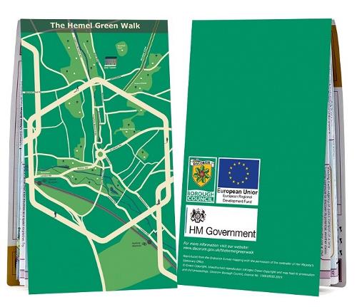
The Hemel Green Walk map

We've prepared the Hemel Green Walk map to help promote walking and cycling in the town and encourage healthy living and lifestyles.
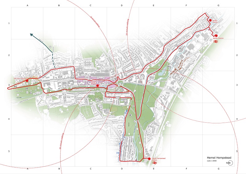
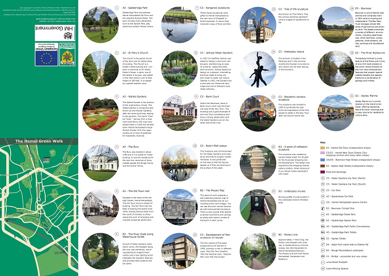
The Hemel Green Walk map links together the very best aspects of the town - its beautiful green spaces and outstanding assets, such as the Old Town, Jellicoe Water Gardens and Gadebridge Park, through connections between Hemel Hempstead Rail Station, Boxmoor, Marlowes, the Old Town and Apsley.
The map can be followed using the LoyalFree app - which can be downloaded for free from the App Store or Google Play. Just follow the trail and discover Hemel!
Alternatively, download ![]() The Hemel Green Walk map (PDF 7MB) or collect one from the following places:
The Hemel Green Walk map (PDF 7MB) or collect one from the following places:
- Artichoke
- Hemel Library
- House of Elliot
- Hive
- Old Town Hall
- The Paper Mill
- The Fishery Inn
- Hemel Hempstead Rail Station
- Apsley Rail Station
- Liberty Tea Rooms and Community Hub
- Brunch
- Cappuccio
- Tiki's
- Jenny's
- The Story Cafe
- Marlowes Shopping Centre
- Riverside Shopping Centre
- Zaru Cafe Bistro


Page Last Updated: Monday, 19 February 2024 at 12:44 PM
